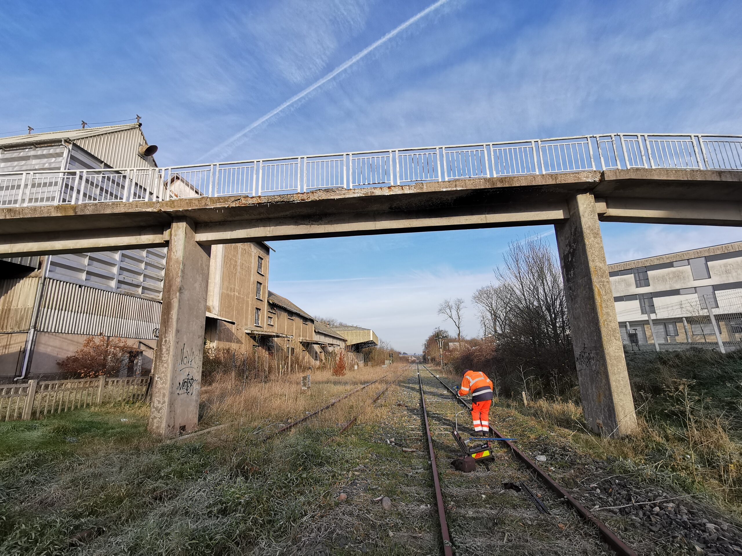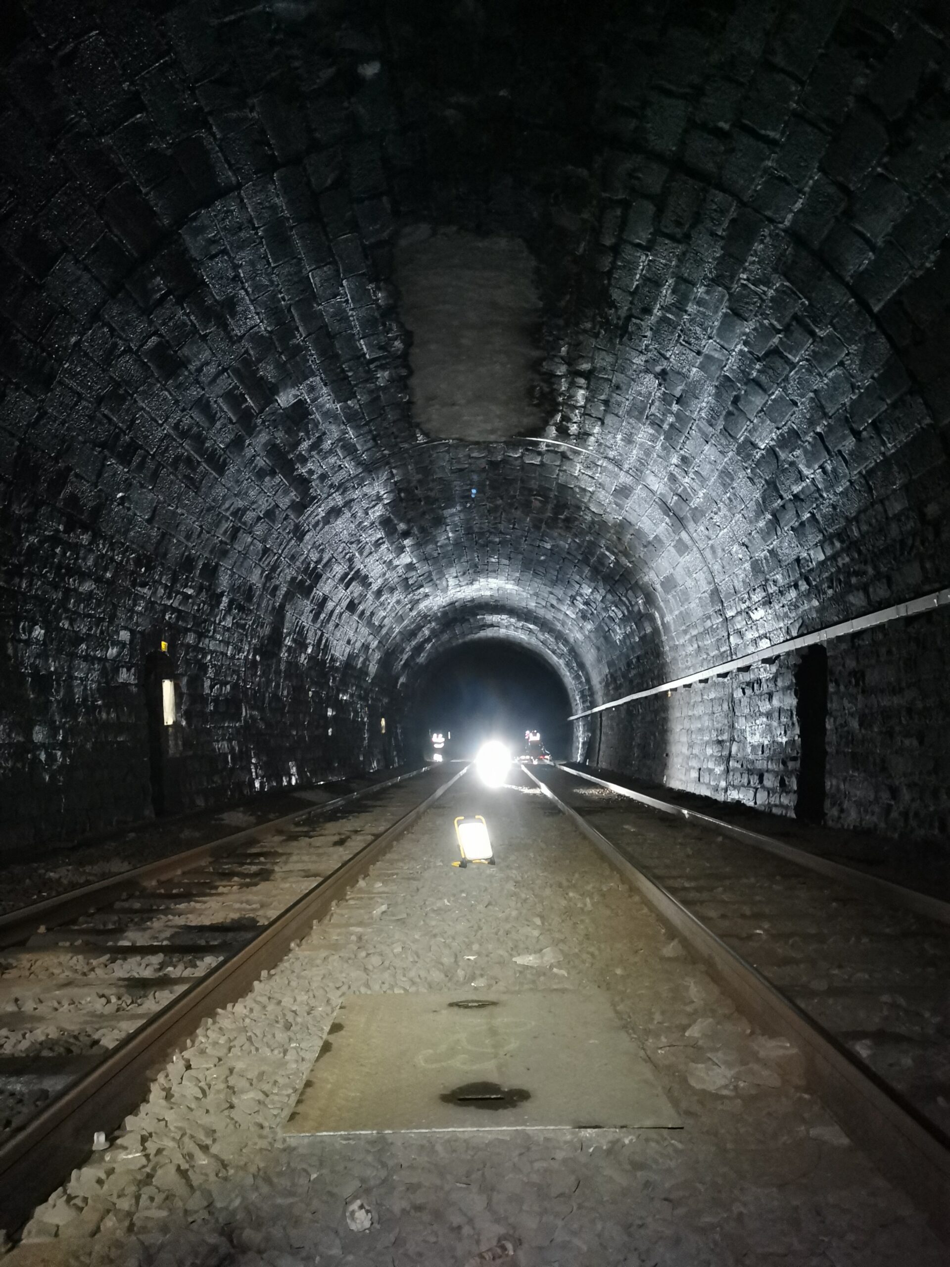
As part of the State-Region Plan Contract, the Grand Est region has decided to take charge of the network of lines structuring its territory in order to perpetuate and modernise these ‘small lines’.
We have been commissioned by the Grand Est region to carry out a complete diagnosis of the track infrastructure on the region’s thinly-served lines (LDFT) in order to determine and optimise maintenance and infrastructure renewal work.
The proposed methodology is based on a combination of high-performance geophysical tests (georadar auscultation) and low-trauma geotechnical spot tests (Pandoscope®).
The acquisition was carried out during the day by lorry and towed by rail at 80km/h using our georadar system. The Pandoscope® surveys were then carried out by our specialist field teams.
The combined analysis of the georadar and Pandoscope® survey data enables us to provide the information required by the new owner of these lines.


